
SURVEYING SERVICES WE PROVIDE:
ALTA/ACSM Land Title Survey: A survey plat which illustrates the required criteria established jointly by the American Land Title Association and the American Congress on Surveying and Mapping.
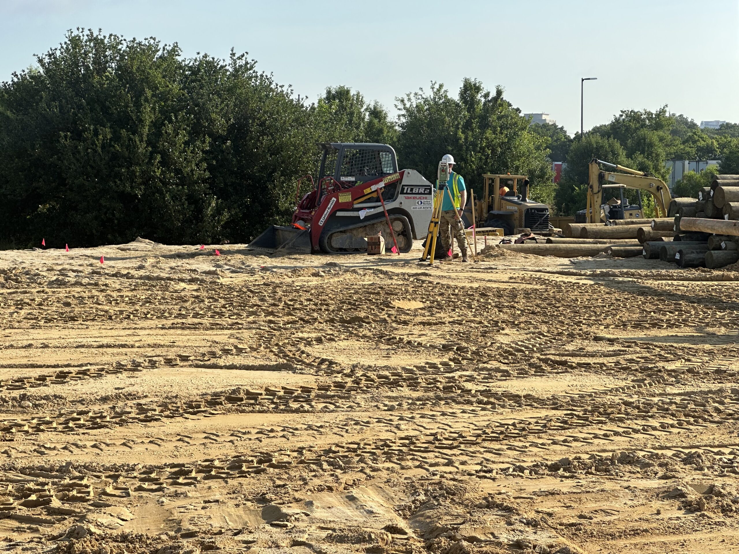
Construction Stake-Out: A survey term used to describe the routines established by a surveyor necessary to properly locate, both horizontally and vertically the proposed new improvements on a construction site.
Construction Record Drawings (As-Builts): Upon conclusion of the construction of the infrastructure of a project, the municipality in which the project resides typically requires that a set of CRD’s be presented for review and approval. A Land Surveyor or Professional Engineer Licensed in the State of Virginia must be able to supervise the field routines and CAD drawings to meet this post construction requirement.
Easement Plat: A survey plat illustrating the location of an easement. An easement being a term used to describe the right of one party to somehow encumber the use of the property of another for a specified purpose. (i.e. easement for ingress/egress access, utility easement or drainage easement.)
Subdivision Plat (Minor & Major): A survey plat that illustrates the proposed division of a piece of property into smaller parcels.
Boundary Line Adjustment (Resubdivision) Plat: A survey plat, which shows the relocation or abandonment of existing property lines for the purpose of increasing, decreasing or otherwise changing the shape or size of a particular parcel.
Boundary Survey: The establishment or re-establishment of the perimeter of a parcel of land based primarily on existing instruments of record and field measurements.
Topographic Survey: A survey of property, which establishes the vertical spectrum of the landscape inclusive of the location of existing physical features.
Physical Survey: A survey, which illustrates the position of existing physical features within the boundary of a particular parcel of land.
Property Line Dispute Resolution Survey accompanied by Expert Witness Testimony: A survey intended to resolve a dispute over the location of certain property line(s) interpreted by two separate parties. This type of survey many times is presented as part of a court trial and requires the testimony of the Land Surveyor as an expert witness to his findings.
Residential Plot Plan: A drawing which illustrates proposed improvements to an otherwise undeveloped parcel or property and usually includes proposed grading and Erosion and Sediment Control Measures. Usually used as an exhibit with which to obtain a Building Permit.
Modified Site Plan: A drawing showing proposed improvements to an existing improved parcel or property. Examples would be a plan showing a room addition to an existing building on a site.
Closure Assessment: A survey methodology by which certain mathematical routines are applied to assess the precision of a survey.
AND MANY MORE


